
Unprecedented Early Weakening of the Polar Vortex Defies Historical Norms
Forecasters report an unusually early disruption of the polar vortex high above the Arctic, creating uncertainty for winter weather patterns across North America and Europe.
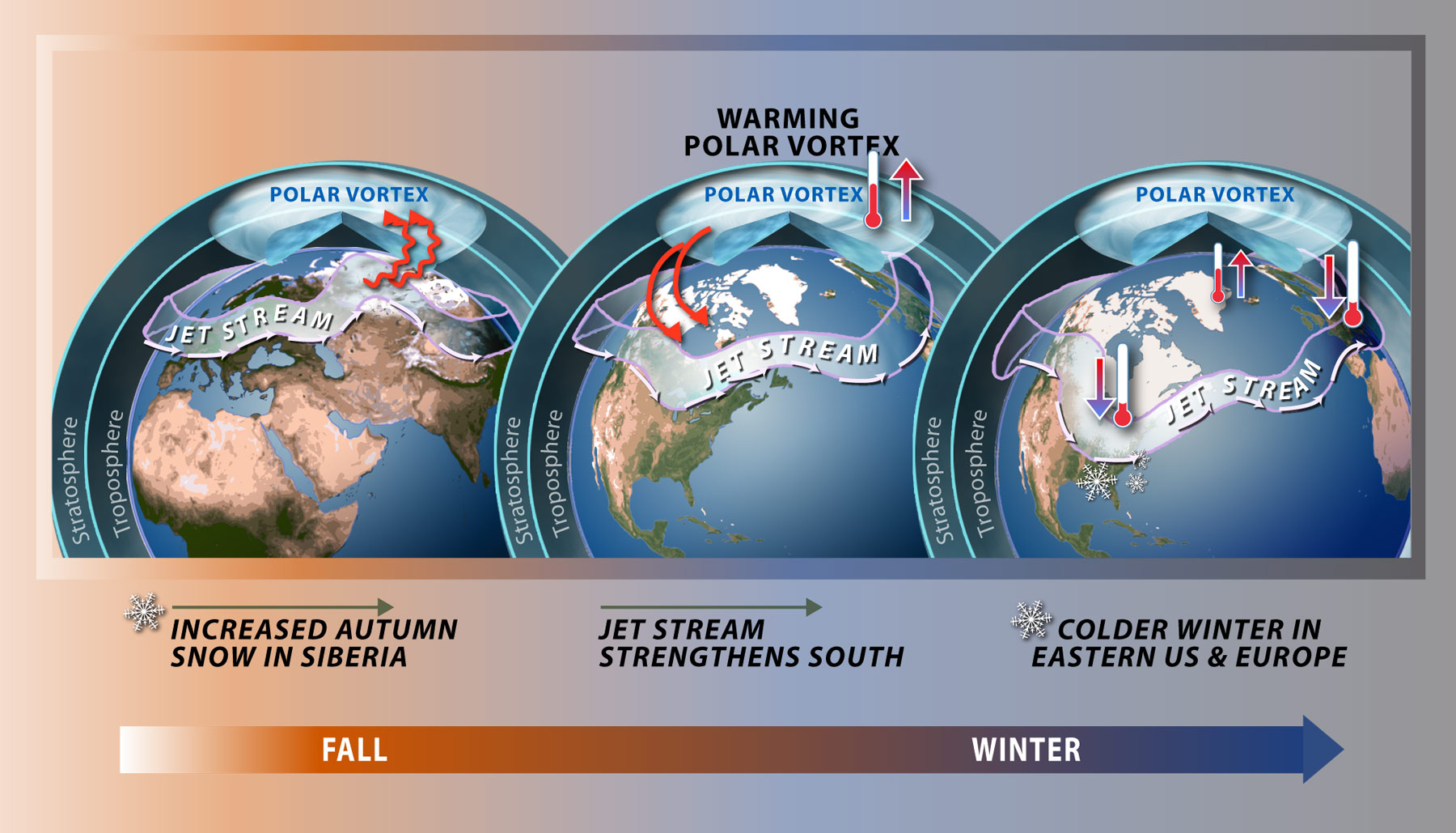
Forecasters report an unusually early disruption of the polar vortex high above the Arctic, creating uncertainty for winter weather patterns across North America and Europe.
The story
A powerful band of stratospheric winds circling the North Pole, known as the polar vortex, has weakened and shifted position significantly earlier than ever recorded in modern observations. The circulation normally strengthens throughout the autumn as the Arctic cools, trapping the coldest air high above the Earth. However, scientists note that a disruption occurring this early in November is unprecedented.
According to the National Oceanic and Atmospheric Administration's Climate Prediction Center, the rare event could potentially develop into a sudden stratospheric warming within days. Atmospheric disturbances can cause high-altitude air to warm, weakening the vortex winds and occasionally reversing westerly winds into easterly currents. BBC News reports that these changes can alter the position of the jet stream, increasing the likelihood of blocked weather patterns and potentially bringing colder northerly or easterly winds, along with a higher possibility of snow in regions such as the eastern UK.
While past disruptions have sometimes sent Arctic air traveling south to affect parts of North America and Europe, forecasters emphasize that the timing leaves few historical examples for comparison. In January of the previous year, a lobe of Arctic air pushed south to deliver a deep freeze across parts of Canada and the eastern United States, where state climate data recorded temperatures dropping to -43 degrees Fahrenheit in northern Minnesota.
A closer look
NOAA stated that any potential impacts in the eastern United States could compete with the influence of El Niño, which remains in full swing and is projected to stay strong through at least late winter. Jon Gottschalck, a branch chief at the Climate Prediction Center, explained at an October winter outlook briefing that a strong El Niño combined with a tropical westerly wind pattern typically favors a more stable polar vortex and fewer Arctic air outbreaks.
Authorities advise that while there is no cause for alarm, residents should monitor local forecasts and ensure that home and car emergency kits are prepared for hazardous winter conditions. NOAA noted that its updated November outlook warns that any resulting effects from a sudden stratospheric warming could persist for up to two months.
Read the source reports and compare their framing:
Continue reading
Environment desk ↗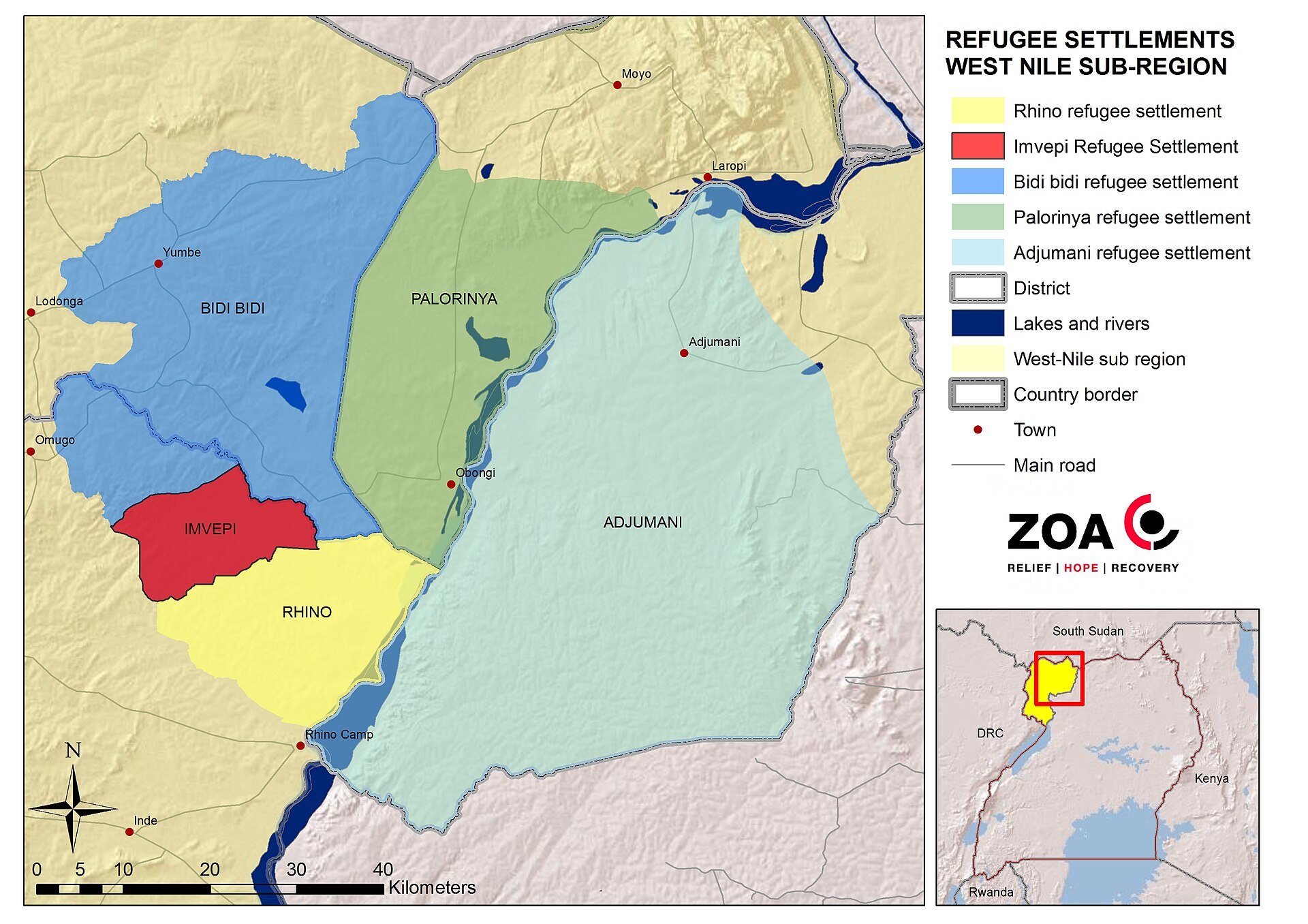
UN agency warns that three‑quarters of displaced populations reside in high climate‑risk countries
A UNHCR report released ahead of COP31 says nearly 90 million forcibly displaced people live in nations highly exposed to droughts, floods and extreme heat, and calls for stronger protection measures.
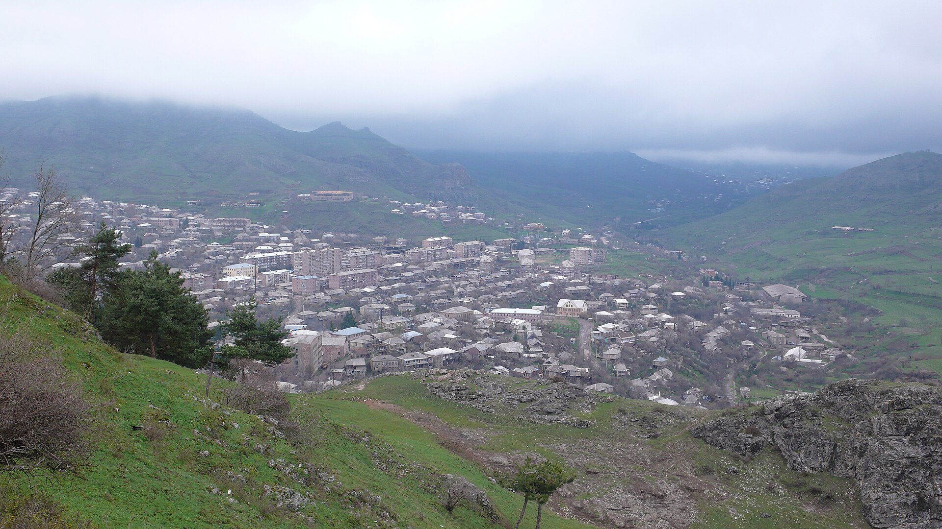
International Biodiversity Summit Concludes in Armenia With Unresolved Funding Shortfalls for African Conservation
Delegates at the United Nations biodiversity conference in Yerevan concluded negotiations with a persistent financial gap, even as nations pursue targets to protect 30% of global land and oceans by the end of the decade.
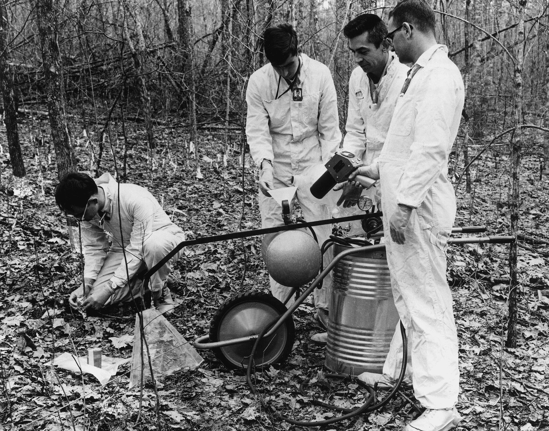
Study Shows Tree Species Diversity Helps U.S. Woodlands Withstand Compound Climate Extremes
New research analyzing thousands of natural forest plots across the United States indicates that woodlands with a greater variety of tree species are better equipped to handle concurrent climate extremes such as heatwaves combined with drought.