
Severe Storms and Supercells Forecast for Parts of Queensland and New South Wales
The Bureau of Meteorology warns of potential destructive winds, giant hail, and heavy rainfall following overnight storms on the Fraser Coast.
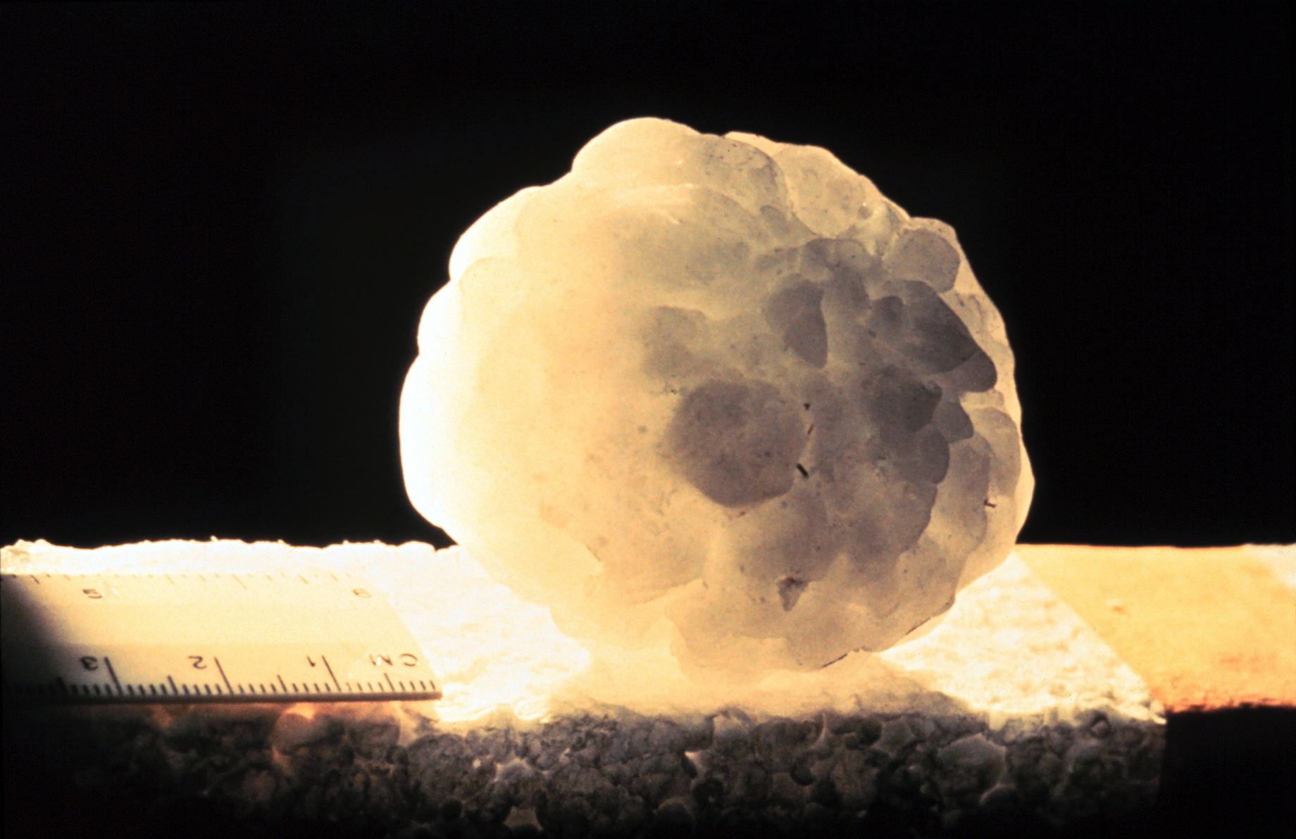
The Bureau of Meteorology warns of potential destructive winds, giant hail, and heavy rainfall following overnight storms on the Fraser Coast.
The story
Severe storms and potential supercells are forecast to impact parts of south-east Queensland and north-east New South Wales following a night of severe weather that brought large hailstones to the region. A trough situated over southern inland Queensland triggered a line of severe storms during the morning.
Bureau of Meteorology meteorologist Jonathon How stated that the atmosphere remains highly unstable, pointing to a significant storm day extending from the New South Wales south coast to Queensland's Fraser Coast. Overnight, hail measuring up to 10 centimetres fell at Bidwill on the Fraser Coast, while footage from Maryborough recorded hail banking up across local roads.
A closer look
Authorities warned that the expected conditions could include destructive wind gusts exceeding 125 kilometres an hour, capable of downing trees and damaging property. Forecasters also indicated that giant hail could cause substantial damage to vehicles, alongside the risk of flash flooding and heavy rainfall.
The Bureau of Meteorology advised that areas including Brisbane, the Gold Coast, the Sunshine Coast, and the inland Darling Downs face risks from the weather system. Residents across south-east Queensland and north-east New South Wales have been urged to monitor weather radars and official warnings as conditions develop through the late morning and afternoon.
This report presents the named publisher’s account and has not yet been independently corroborated.
Continue reading
Australia desk ↗
Phishing scams target tourists after RMS booking data breach
Travelers to Broome received fraudulent messages that referenced real reservation details, prompting warnings from hotels and a cybersecurity expert.
Lower Eyre Council Removes Mandatory Acknowledgement of Country
A South Australian local government body has voted to eliminate its required Acknowledgement of Country, prompting disappointment from First Nations residents and varying perspectives from elected members.
Brisbane nurse charged with multiple rapes of elderly patients faces committal hearing
Jeremy David Pearce, 42, is accused of raping three women aged over 70 while employed at Greenslopes Private Hospital between 2020 and 2024; one alleged victim has died.