
Prolonged Heatwave Persists in Far North Queensland While South-East Experiences Brief Storm Reprieve
Parts of Far North Queensland face an extended period of extreme heat while south-east regions enjoy a temporary pause in thunderstorm activity.

Parts of Far North Queensland face an extended period of extreme heat while south-east regions enjoy a temporary pause in thunderstorm activity.
The story
Parts of Far North Queensland are currently enduring extended heatwave conditions, accompanied by a temporary pause in severe storms across the state's south-east. According to the Bureau of Meteorology, the warm and unstable air mass responsible for the high temperatures is not expected to shift in the immediate future.
On Saturday, Weipa located on the Cape York Peninsula recorded its hottest November day in history when temperatures reached 39.8 degrees Celsius. Meteorological data indicates that Weipa has experienced a consecutive streak of 33 days with maximum temperatures exceeding 36 degrees Celsius.
Bureau of Meteorology meteorologist Kimba Wong described the persistent maximum temperatures as exceptional heat across the peninsula region. Forecasters report that the extreme heatwave warning remains active for the peninsula, alongside a severe heatwave warning covering multiple regions stretching from the Gulf Country down to the Whitsundays.
A closer look
Current forecasts indicate that western parts of the Cape York Peninsula will continue to experience maximum temperatures reaching the high 30s and low 40s over the coming week. Overnight minimum temperatures are anticipated to remain in the mid to high 20s for the affected areas.
Meanwhile, the severe storms that previously affected the south-east of the state have temporarily eased, though meteorological forecasts suggest storm activity is likely to return beginning Wednesday. Additionally, localised heavy rainfall and storms are expected to develop around Mackay and the Eungella ranges.
This report presents the named publisher’s account and has not yet been independently corroborated.
Continue reading
Environment desk ↗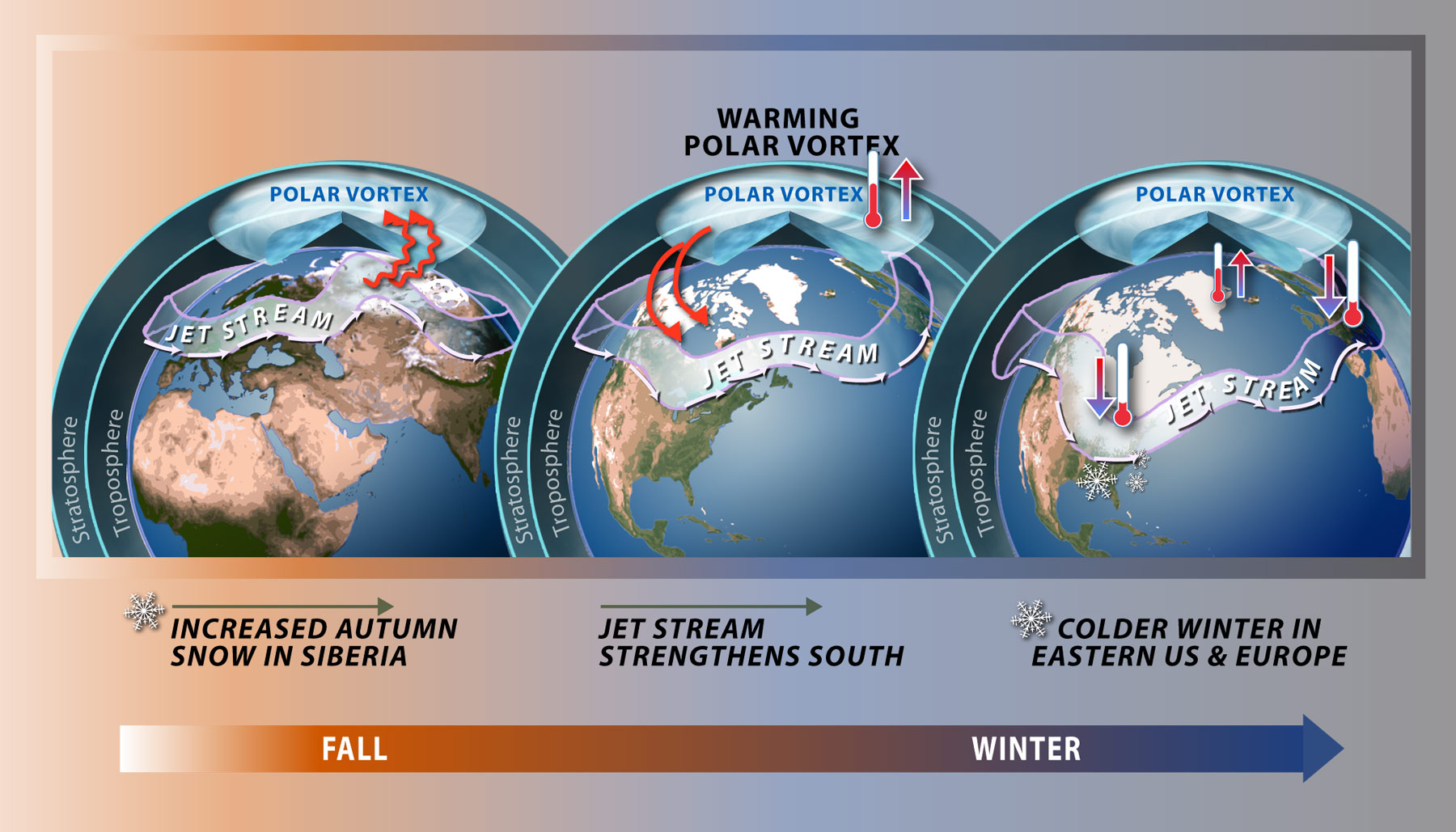
Unprecedented Early Weakening of the Polar Vortex Defies Historical Norms
Forecasters report an unusually early disruption of the polar vortex high above the Arctic, creating uncertainty for winter weather patterns across North America and Europe.
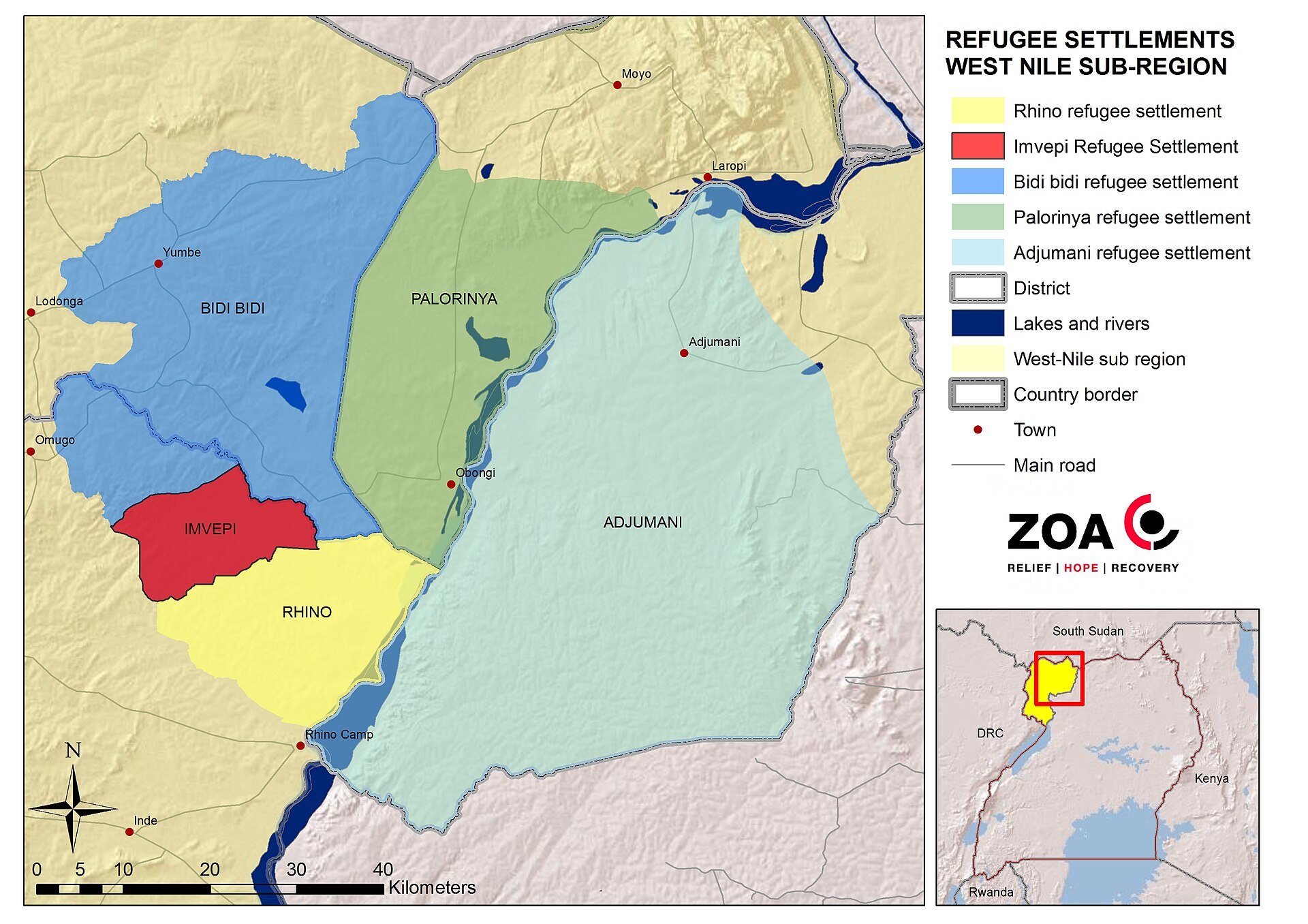
UN agency warns that three‑quarters of displaced populations reside in high climate‑risk countries
A UNHCR report released ahead of COP31 says nearly 90 million forcibly displaced people live in nations highly exposed to droughts, floods and extreme heat, and calls for stronger protection measures.
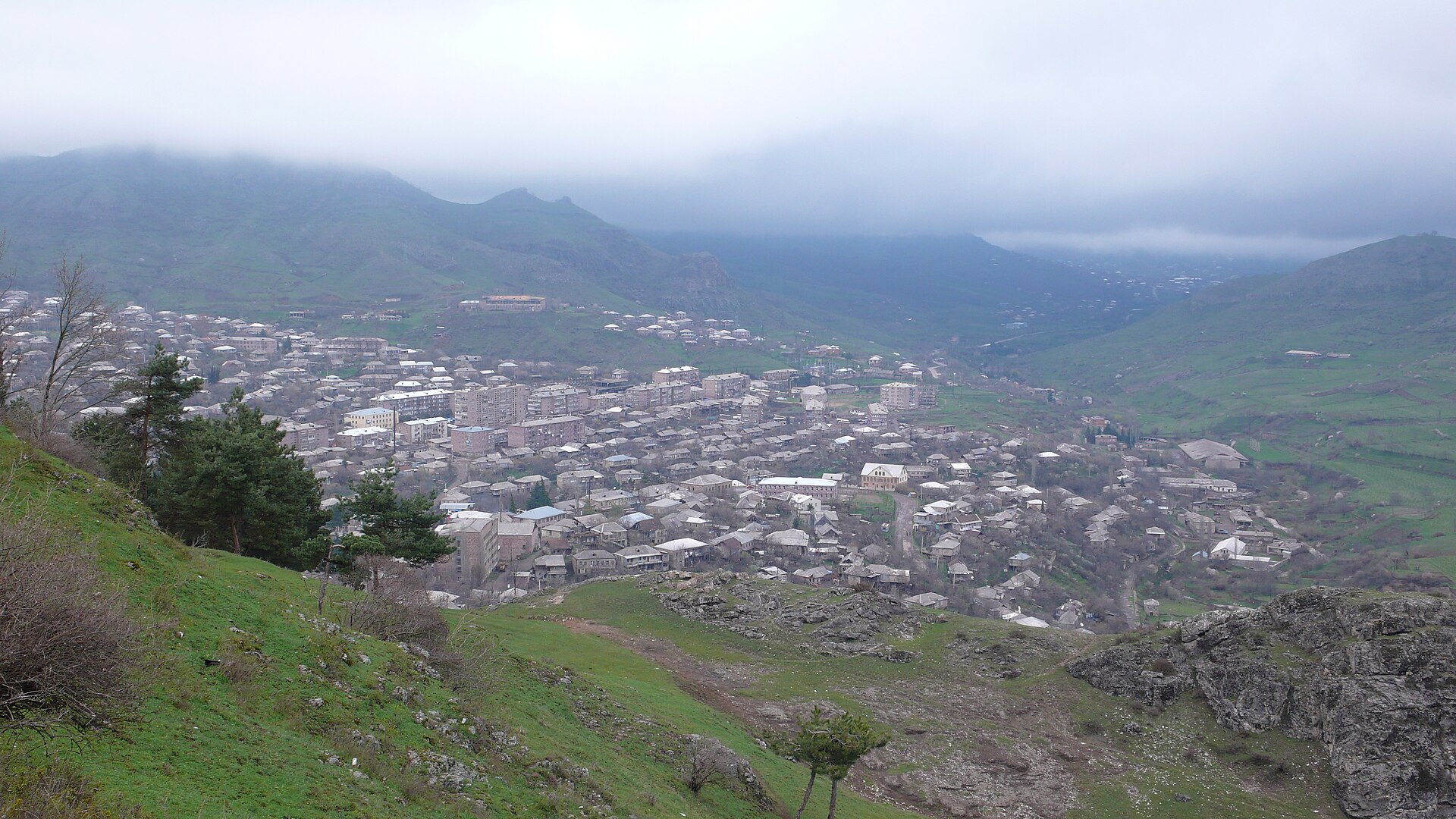
International Biodiversity Summit Concludes in Armenia With Unresolved Funding Shortfalls for African Conservation
Delegates at the United Nations biodiversity conference in Yerevan concluded negotiations with a persistent financial gap, even as nations pursue targets to protect 30% of global land and oceans by the end of the decade.